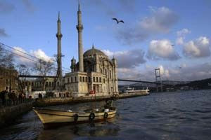
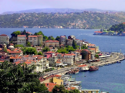
Turkey is situated in Anatolia and the Balkans, bordering the Black Sea, between Bulgaria and Georgia, and bordering the Aegean Sea and the Mediterranean Sea, between Greece and Syria. The geographic coordinates of the country lie at: 39°00′N 35°00′E The area of Turkey is 783,562 km2 (302,535 sq mi); land: 770,760 km2 (297,592 sq mi), water: 9,820 km2 (3,792 sq mi). Turkey extends more than 1,600 km (994 mi) from west to east but generally less than 800 km (497 mi) from north to south. Total land area is about 783,562 km2 (302,535 sq mi), of which 756,816 km2 (292,208 sq mi) are in Asia and 23,764 km2 (9,175 sq mi) in Europe (Thrace). Anatolia (Turkish: Anadolu) is a large, roughly rectangular peninsula situated bridge like between Europe and Asia. The Anatolian part of Turkey accounts for 97% of the country's area. It is also known as Asia Minor, Asiatic Turkey or the Anatolian Plateau. The term Anatolia is most frequently used in specific reference to the large, semiarid central plateau, which is rimmed by hills and mountains that in many places limit access to the fertile, densely settled coastal regions. The European portion of Turkey, known as Thrace (Turkish: Trakya), encompasses 3% of the total area but is home to more than 10% of the total population. Istanbul, the largest city of Europe and Turkey, has a population of 11,372,613. Thrace is separated from the Asian portion of Turkey by the Bosporus (Turkish: İstanbul Boğazı), the Sea of Marmara (Turkish: Marmara Denizi), and the Dardanelles (Turkish: Çanakkale Boğazı).


No comments:
Post a Comment